

https://www.ballotboxart.com/the-art
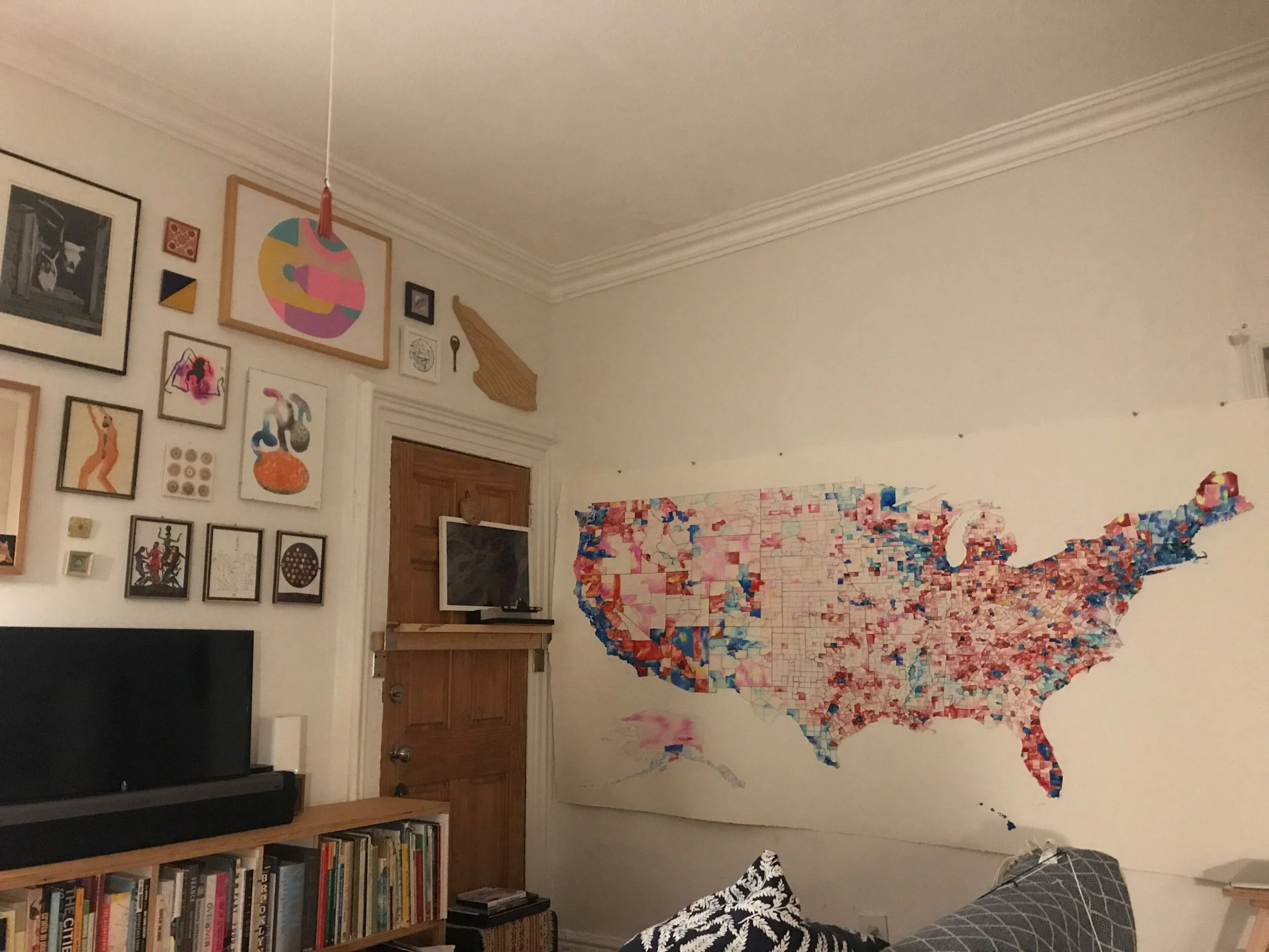

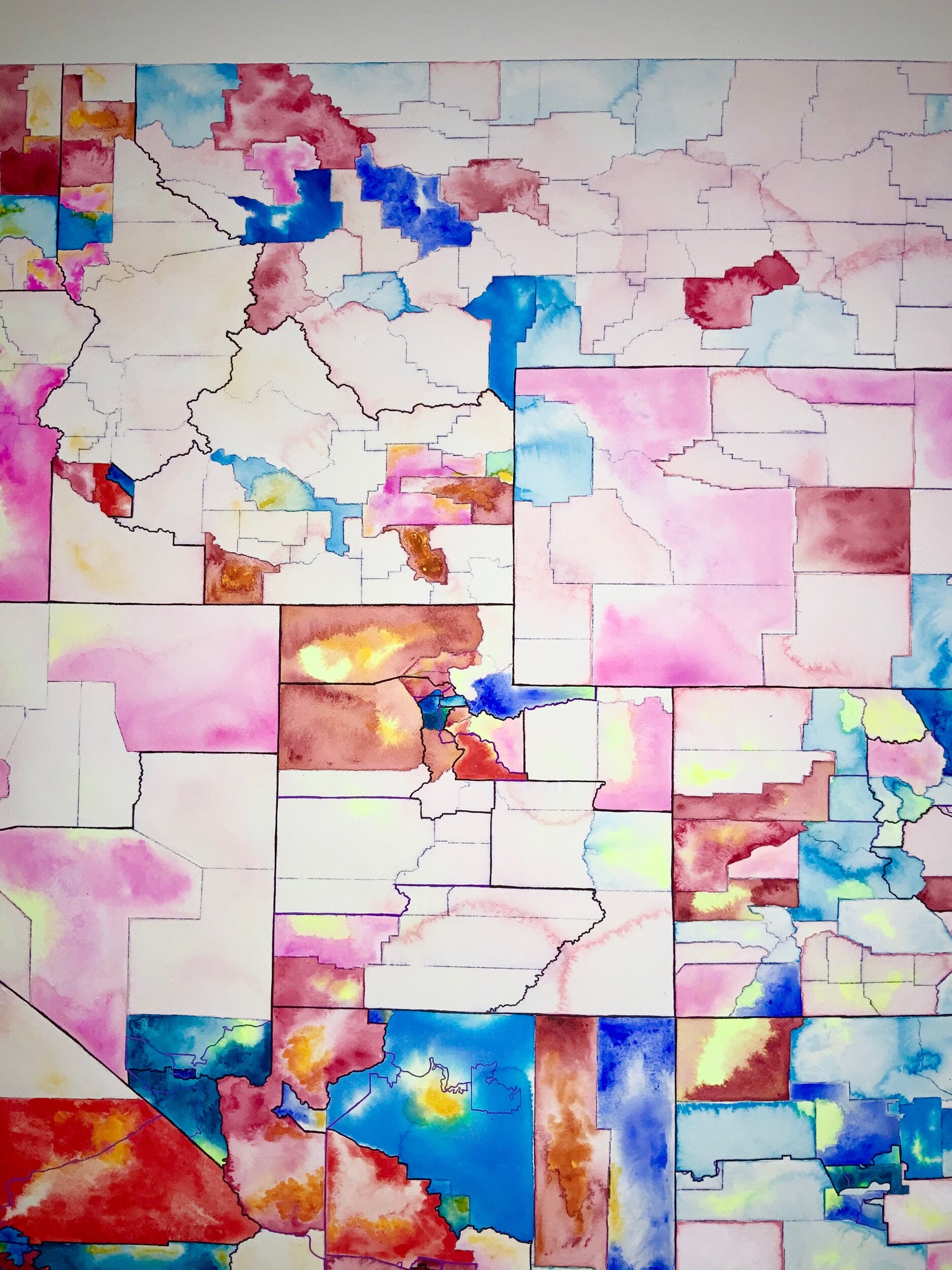

Counties and districts drawn
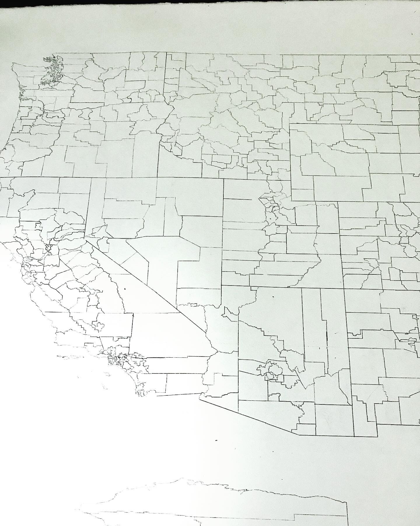
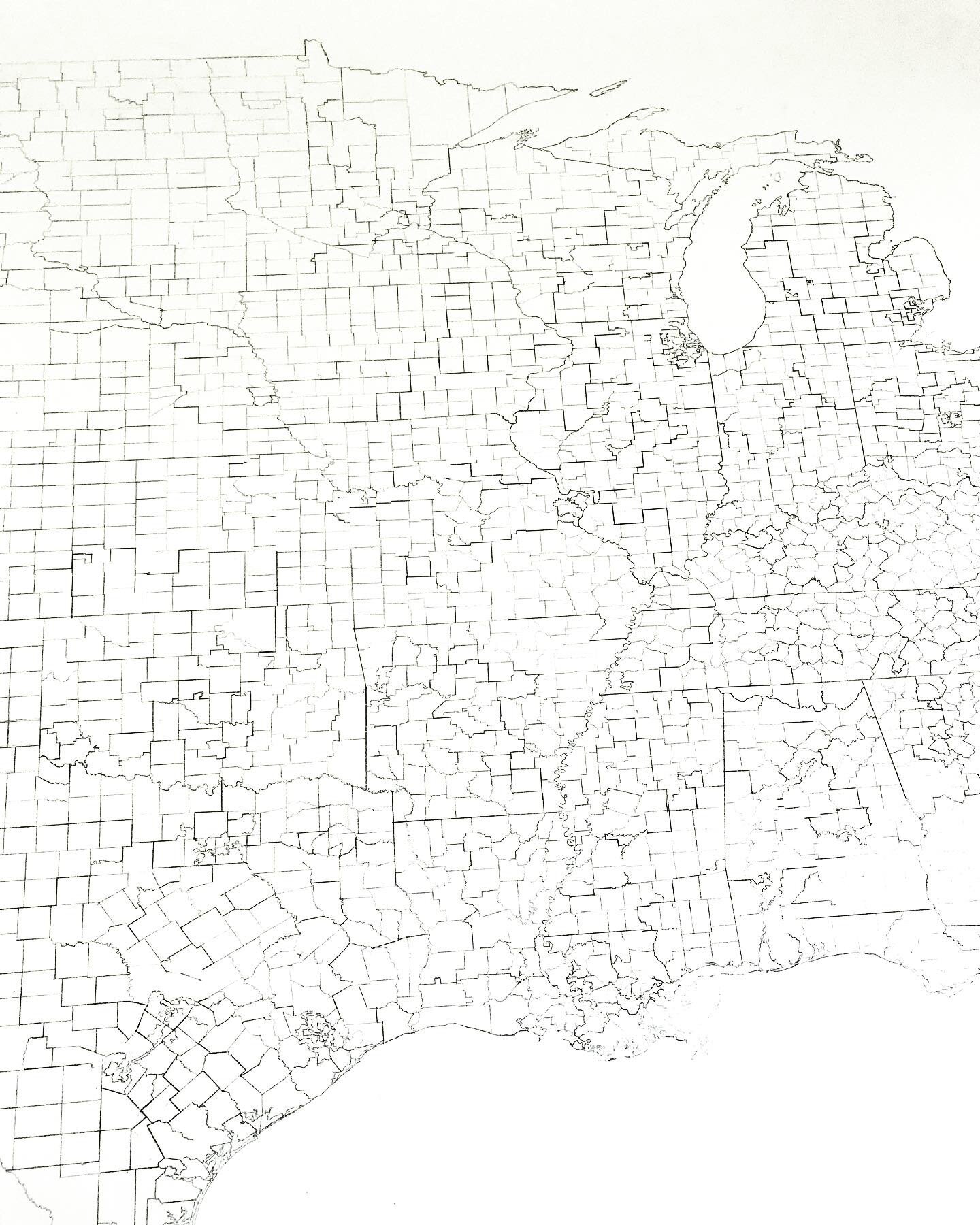
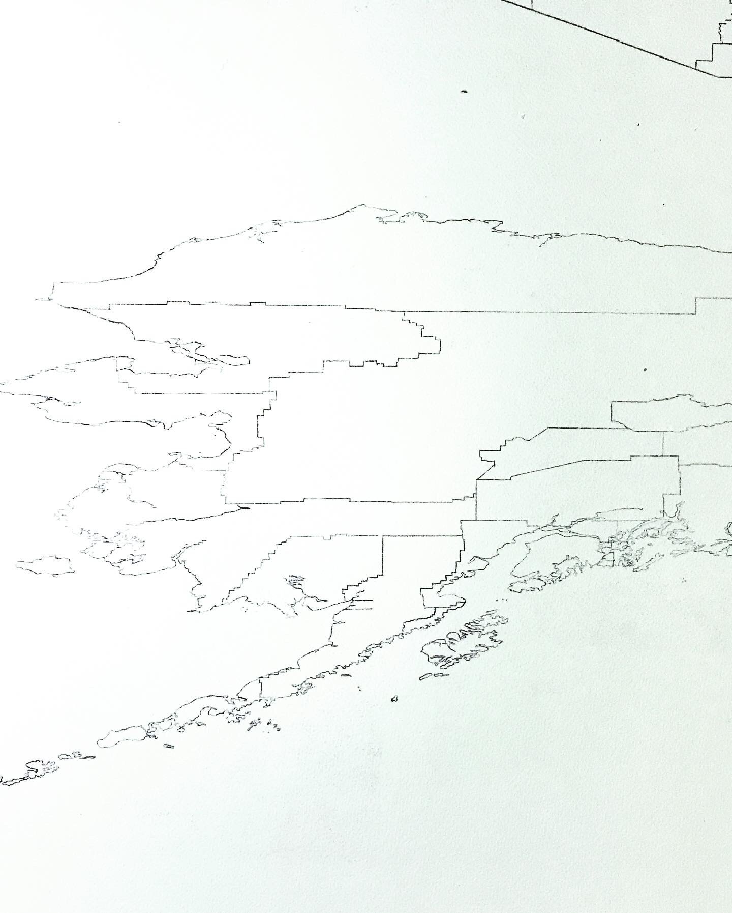
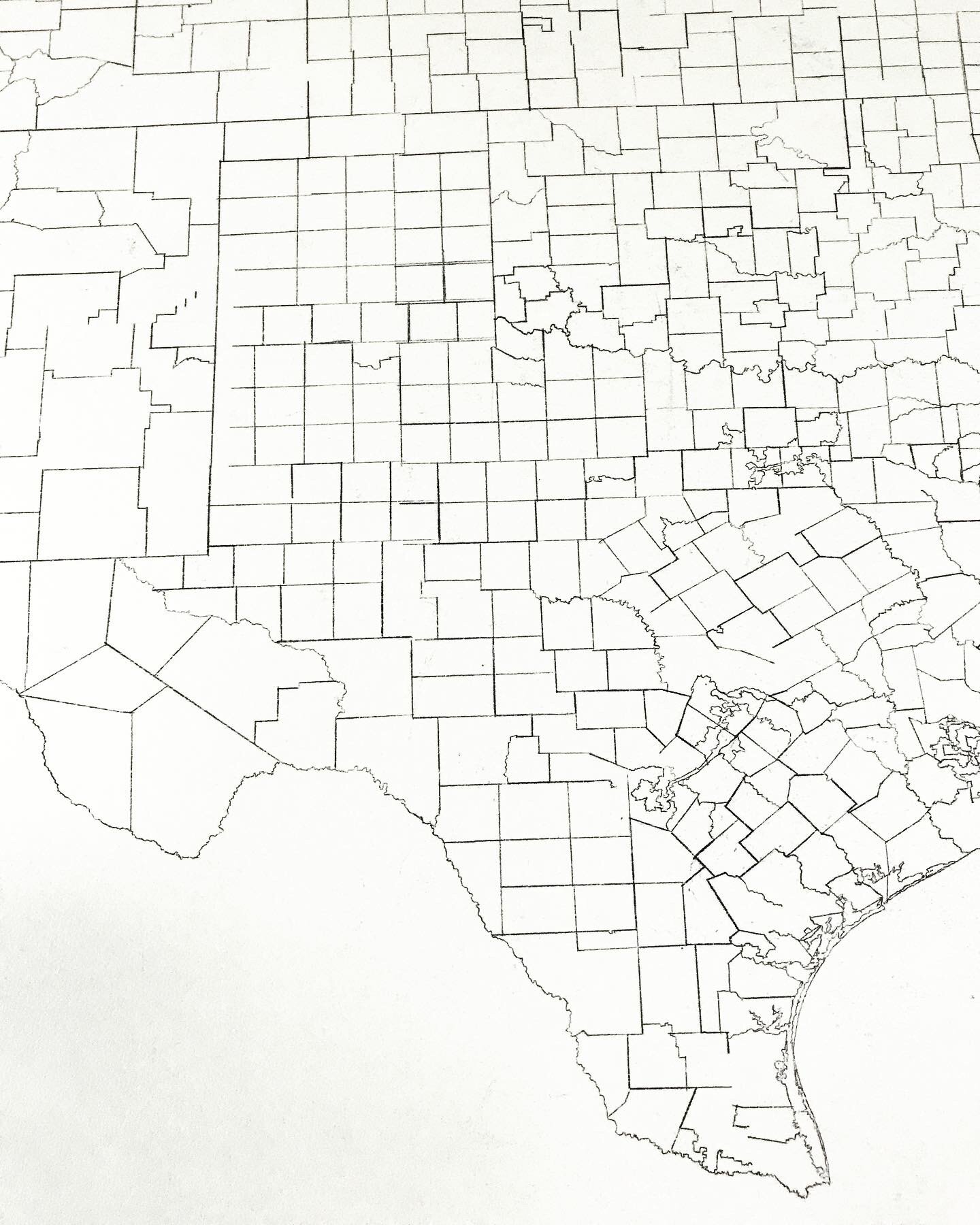
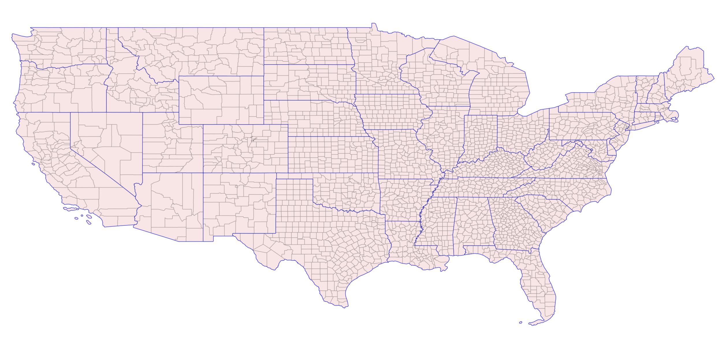
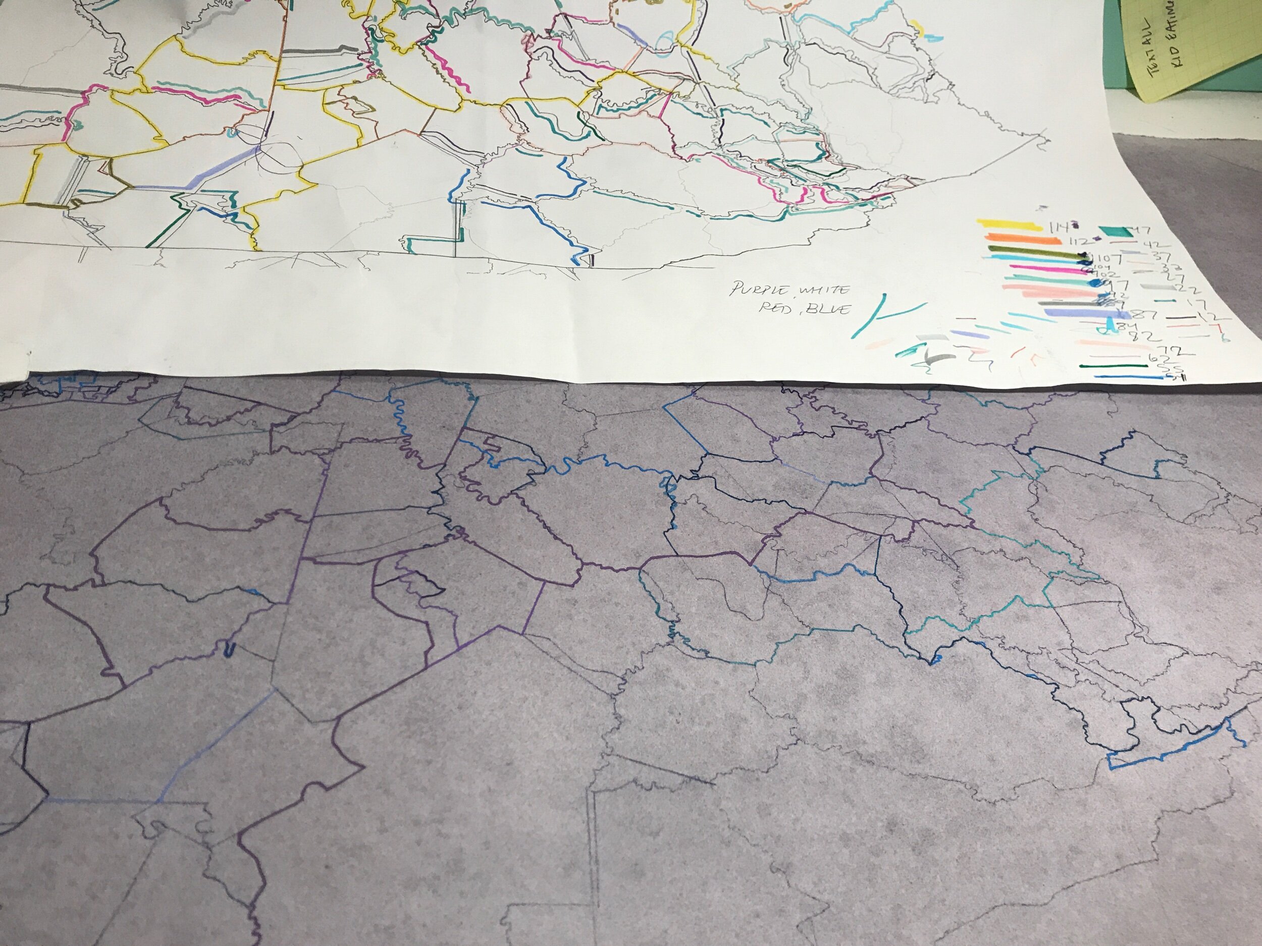
5,188 COUNTIES OF THE UNITED STATES shown in QGIS


Citations
Redistricting procedure by state
https://ballotpedia.org/State-by-state_redistricting_procedures
Shapefiles of district maps of the United State Congress
http://cdmaps.polisci.ucla.edu/
Copyright (c) 2013-2018 Jeffrey B. LewisShapefiles of United States counties
https://www.census.gov/geographies/mapping-files/time-series/geo/carto-boundary-file.html
2018 Congressional Election Results
Pettigrew, Stephen, 2018, "national-files.zip", November 2018 general election results (county-level), https://doi.org/10.7910/DVN/UYSHST/0UQP48, Harvard Dataverse, V4